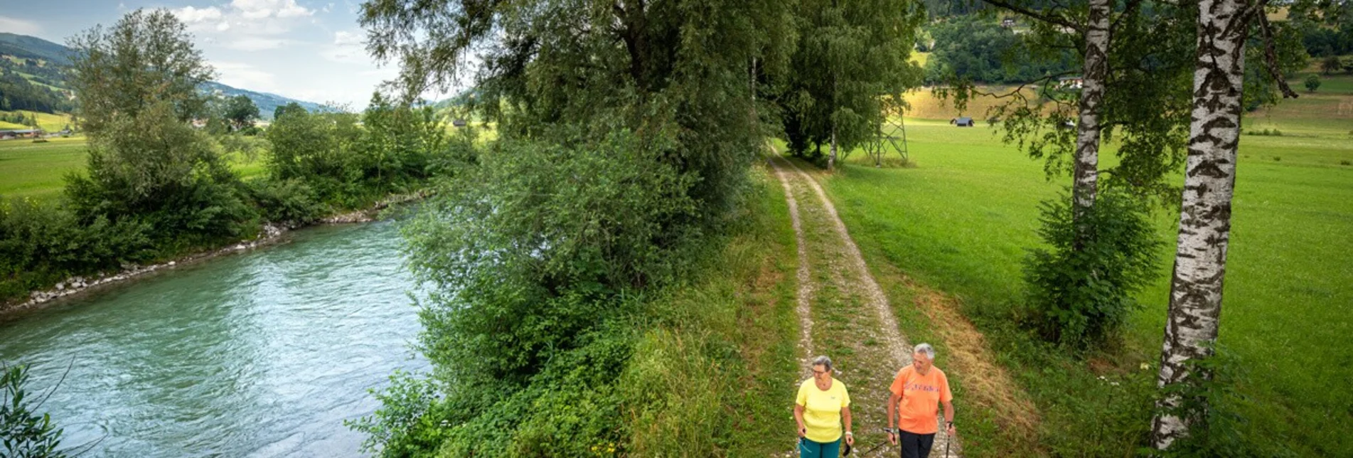

Pruggern-Moosheim Runde
Characteristics
Best season
January
February
March
April
May
June
July
August
September
October
November
December
The tour in numbers
easy
Level of difficulty
6,0 km
Route
1:30 h
Time
10 hm
Uphill
10 hm
Downhill
680 m
Highest point
Map & downloads
More information
B320 turn-off Pruggern - Ort
The Enns to the right and blossoming fields with views of the Stoderzinken and Kammspitze to the left characterise the profile of the Pruggern-Moosheim circuit. Cross-country via Moosheim back to Pruggern.
Beautiful views of the Stoderzinken and the Kammspitze
Public car parks

