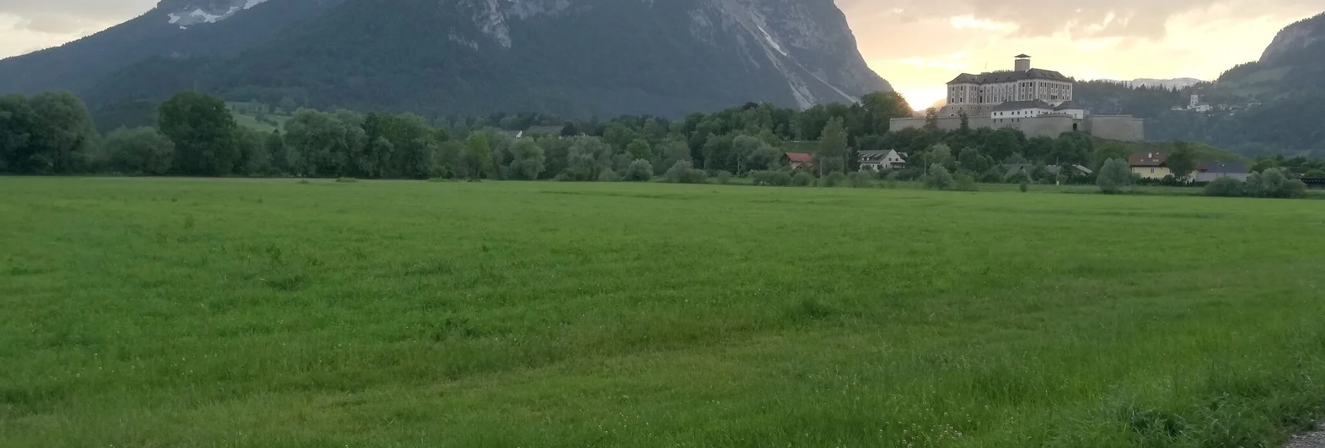

Hike to the Grimmingtor
From Espang, we hike up the Stutterner Berg, past a hunting lodge through the beech forest to the Feiglstein (1.240m) and to the snack pit - until we finally reach the heart of the Grimming. We are never alone here and will always meet loyal companions along the way.
Characteristics
Best season
The tour in numbers
Map & downloads
More information
Exacttly Infomations do you become on this websites:
Safety on the mountainside: changes in the weather, sudden fall in temperature, thunder storms, wind, fog and snow fields are all objective dangers and require the correct behaviour whilst underway. the landlords of the huts are all very knowledgeable about the mountains and can give you good tips about the weather and the routes. Insufficient equipment, exaggerated opinion of ones capabilities, frivolousness, poor health condition and a false evaluation of the situation can lead to a critical situation. In thunder storms: summits, crest-sites and safety rope aids are to be avoided.
If something should happen call following emergency numbers:No. 140 - the number for all Alpine Emergencies in all of AustriaNo. 112 - European emergency call GSM emergency-call-service
- GRIMMING-DONNERSBACHTAL Hiking & Biking Map. Available free of charge at the tourist offices of Berg & Tal
- SCHLADMING-DACHSTEIN Hiking Map
- KOMPASS Hiking Map No. 68, Ausseerland-Ennstal Valley

