
From Bad Aussee to Ödensee
Characteristics
Best season
The tour in numbers
Map & downloads
More information
Follow the road to the left for about 700 meters until you reach the bridge on the right that crosses the Kainisch Traun. Cross this bridge and continue straight on, past the shooting range of the Bad Aussee-Unterkainisch shooting club on the right, and immediately turn left onto the hiking trail to Lake Ödensee.
The marked, gravelled path leads along the Kainisch Traun upstream. Pass under the railroad bridge, past the waste disposal center, and continue in a southerly direction below the Brandgraben, Lahngraben and Rabenwand and above the Wasen bridge.
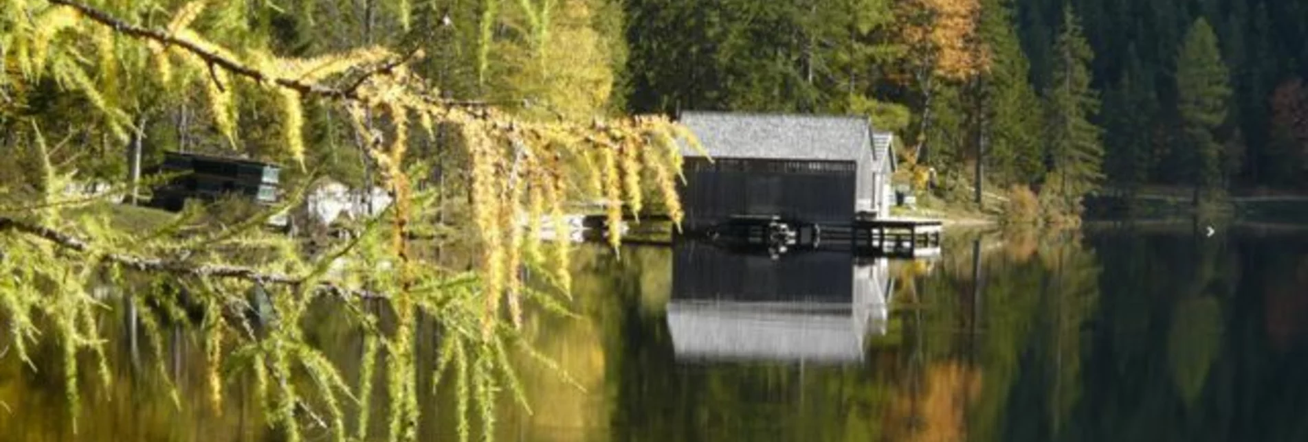
After about 1.5 kilometers you come to a forest road, on which you continue to climb to the right. The road, which soon becomes level, leads to the access road to Lake Ödensee. Follow this road to the right and after about 750 meters you will reach your destination, Lake Ödensee. The spring water lake invites you to take a bath in the crystal clear water in summer.
If you still have the desire and stamina, treat yourself to a walk around the Ödensee after a rest. Length - about two kilometers.
You can return to Bad Aussee either by cab or by train.
Tourist office Ausseerland Salzkammergut
Information office Bad Aussee
Pratergasse 388
8990 Bad Aussee
+43 3622 540 40
Send e-mail
Website
Hiking maps are available in the information offices in Ausseerland or in the Ausseerland Artikel Shop.


