Organ Hiking: Stage Pöllauberg - St. Anna
Characteristics
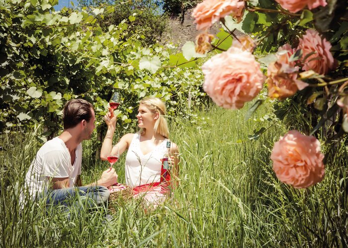
Best season
The tour in numbers
Map & downloads
More information
The Pöllau Valley Nature Park is located in the heart of Eastern Styria, the garden of Austria, approx. 60 km north-east of Graz and approx. 150 km south of Vienna
By car from Vienna
If you are driving from Vienna to Pöllau bei Hartberg, take the A2 towards Graz and drive about 110 kilometres until you reach the Hartberg exit. From there, follow the B54 in the direction of Pöllau/Pöllauberg.
By car from Graz
To get to Pöllau bei Hartberg from Graz, take the A2 motorway in the direction of Vienna. After about 30 kilometres, take the Gleisdorf West exit and then take the B54 towards Hartberg/Pöllau. Follow the B54 for about 25 kilometres until you reach Pöllau/Pöllauberg.
By car from Salzburg
To get to Pöllau bei Hartberg from Salzburg, take the A1 motorway towards Vienna. Drive about 110 kilometres to exit 109 (Salzburg junction). There change to the A9 motorway in the direction of Graz. At St. Michael, follow the S6 towards Kapfenberg. Continue on the S6 until the Krieglach exit. From there, take the B72 and then the L405 to Pöllau/Pöllauberg.
- Starting at the Pöllauberg pilgrimage church, the trail leads past the Annakirche church across the main square of Pöllauberg.
- Immediately before the elementary school, follow the signs for "Hirschbirnweg" and take the red-white-red hiking trail no. 946 "St. Anna - Hartberg".
- Follow this over a few steps and then turn left through the high forest, continue on an asphalted house driveway, cross a municipal road in "Ölhof" and then turn right onto the forest path.
- Follow this first along the meadow and later through the high forest to the small chapel at the "Bachlex" estate in Brandstatt.
- Brandstatt - Muggental - St. Anna
- Walk along the asphalt road for approx. 800 m to the Reiterer fruit farm.
- Turn left at the bus stop "Oberneuberg GH Scherf", follow the red-white-red markings no. 946 and walk along the asphalt road for approx. 3 km to the pilgrimage church of St. Anna.
For local transport we recommend the SAM-Sammeltaxi Oststeiermark.
HF 5809 Oberneuberg - Pöllauberg Ort
Tourism region Eastern Styria
Nature Park Pöllauer Valley office
Schloss 1, 8225 Pöllau, Austria
Phone: +43 3335 4210
www.naturpark-poellauertal.at
www.oststeiermark.com
Current weather
Mobility Eastern Styria with shared taxi SAM
Kompass Map, Hiking Map Nature Park Pöllauer Valley 1:30,000
Find out about maps, hiking brochures and other tour tips at the tourist office. You can also order information material on our website from the comfort of your own home.
Rother hiking guide "Oststeiermark - Von den Fischbacher Alpen bis in die Thermenregion", 50 tours, Elisabeth Zienitzer & Silvia Sarcletti paperback, ISBN-10, 376334577 available in bookshopsGallery

 | © Oststeiermark Tourismus")