Culinary trail (Kulinarikweg)
Characteristics
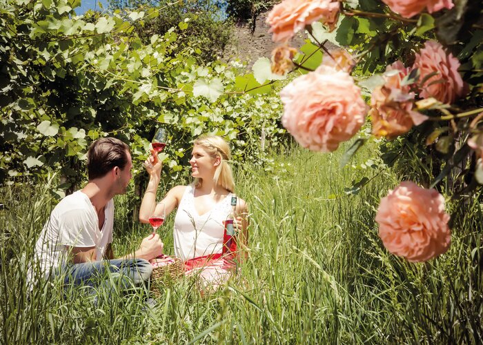
Best season
The tour in numbers
Map & downloads
More information
Detailed information on how to get here can be found here.
On the village road we soon reach a mixed forest again, through which we hike to the Hochstrandler. At the sign "Hochstrandler" we take the right road. Here we hike wonderfully along the ridge and can enjoy the wide valley. After the road turns into a forest road through the forest, we soon turn left. Shortly we come out of the forest and hike steeply down through the meadow.
Then we follow the road to the left until we reach the Genussgut Krispel, there we continue along the road from Hof to Frutten. After a refreshment, we follow the road downhill only briefly and immediately turn right onto a side road that leads us over a few bends and a ditch to Ziegel.We now hike along the edge of the forest, and then dive into the forest after all. Thus we come back to the Sulzbach valley on our hike. Across a meadow and over the main road we reach the beautiful farmhouses of Hof bei Straden, and its light column from 1514 at the end of the village, which is a great rarity with its turned base. The small road brings us to Johannisbrunn, where the "Museum Triangle" is located, with the Museum of Medicinal Water and Wedding and the "Museum of Nostalgic Country Life". Here the springs of the valley are most noticeable. But immediately after the bridge, at the unfortunately closed department store, we continue to the left and in the next right turn we take the dirt road straight ahead. We follow it, turn left once again and reach Puxa through meadows and fields. At the sports field we reach our starting point again.
With the BusBahnBim app from Verbundlinie, timetable information has never been easier: all bus, train and streetcar connections in Austria can be queried by entering locations and/or addresses, stops or important points. The app is available as a free app for smartphones (Android, iOS) - on Google Play and in the App Store.
With the bus of the Steiermärkische Landesbahnen you can easily reach the starting point from Bad Radkersburg or Bad Gleichenberg.
Gästeinfo Bad Gleichenberg
Kaiser-Franz-Josef-Str. 1/top 4
8344 Bad Gleichenberg
Tel. +43 3382 55 100-44
badgleichenberg@thermen-vulkanland.at
www.thermen-vulkanland.at
Hiking map available at the Marktgemeindeamt Straden or Gästeinfo Region Bad Gleichenberg
Vulkanland-Wanderkarte "Mensch & Natur" 1:500.000Steirisches Vulkanland Tel. +43 (0)3152/8575-710 www.spuren.at
freytag & berndt WK 412 Südoststeirisches Hügelland, Vulkanland, Bad Gleichenberg, Bad Radkersburg
Kompass Wanderführer "Steirisches Vulkanland - Auf den Spuren der Vulkane" Beschreibungen, Routenkarten und Höhenprofilen ISBN 978-3-85026-096-1 www.kompass.atGallery


What the weather will be like
Tieschen (260m)