
Mountain tour on the Sandling
Characteristics
Best season
The tour in numbers
Map & downloads
More information
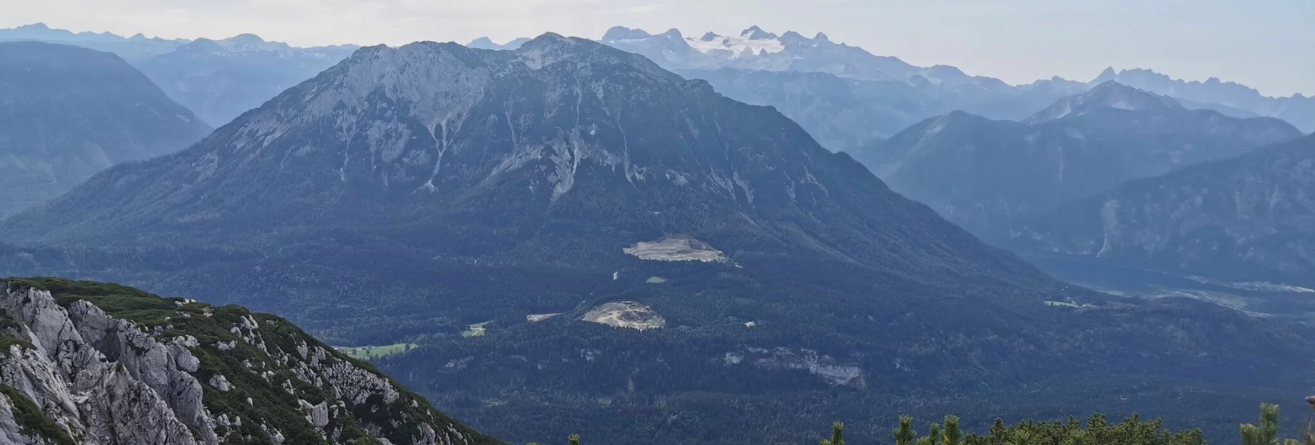
At the upper end of the alpine pasture you step onto a forest path that leads up from the Bad Goiserer side. Follow this for about 200 meters and reach the turnoff to the left for the ascent to the Sandling, trail no. 251. After a steep and secured ascent (beware, especially in autumn always wet and slippery) you reach a "pre-peak".
You often have to descend over high rock ribs and soon reach the actual summit trail. At the junction with trail no. 250, turn left and again climb steeply up to the summit, which is reached after about 3 1/2 hours of walking.
For the descent, path no. 250 to the front Sandlingalm is chosen. This is very steep and secured. There you turn right on the alpine pasture, hike comfortably back to the Ausseer Sandlingalm and take the ascent path to the Fludergraben and Blaa Alm.
Information office Altaussee
Fischerndorf 61
8992 Altaussee
+43 3622 716 43
Send e-mail
Website
Hiking maps are available in the information offices in Ausseerland or in the Ausseerland Artikel Shop.


