
"alpannonia" - feeder: Rettenegg - Stuhleck - via the Planet Trail, Rettenegg
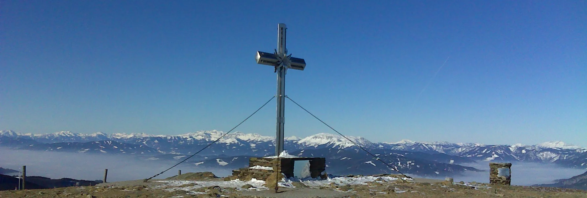
From the UNESCO World Heritage Site Semmering or from the high altitude health resort Fischbach to the edge of the Pannonian plain near Köszeg, a path full of variety and attractions of nature leads: alpannonia®. Of course, you can also start the alpannonia trail at various feeder communities, for example in Rettenegg. From there, the "Planet Trail" leads up to the Stuhleck, from where you can join the main trail. During the hike, the size of the universe is made tangible to the visitor. For example, the light from the sun to Saturn takes about the same amount of time as a hiker covering this distance on the Planet Trail.
alpannonia and the "Planet Trail" - two unique projects come together here. First, you hike along the Planet Trail, which presents the celestial bodies of the solar system in size and distance to each other on a scale of billions on the 6 km long stretch between Rettnegg and the Stuhleck in models. Once you have arrived at Stuhleck, you can spend a night in the Alois Günther House and the next morning you start the alpannonia trail to Köszeg refreshed.
Characteristics
Best season
January
February
March
April
May
June
July
August
September
October
November
December
The tour in numbers
medium
Level of difficulty
7,6 km
Route
3:00 h
Time
918 hm
Uphill
1782 m
Highest point
Map & downloads
More information
Further information on arrival: municipality, Rettenegg
- We start at the star pavilion in Rettenegg and hike along path no. 743On the way are different stations to the planets
- After 1 h we have reached the Schwarzriegel
- Now it is only a few minutes to Stuhleck
Timetables and travel information can be found at Österreichische Bundesbahnen (ÖBB) or at Verkehrsauskunft Verbundlinie.
For local transportation we recommend the SAM-Sammeltaxi Oststeiermark
For local transportation we recommend the SAM-Sammeltaxi Oststeiermark
Rettenegg, municipality (free)
Tourism Association East Styria
Office Joglland - Waldheimat
8255 St. Jakob im Walde
church quarter 24
Tel.: +43 3336 20255
Wander- Ski- und Radtourenkarte Joglland-Waldheimat Maßstab: 1:50.000 erhältlich beim Tourismusverband Joglland Waldheimat Kompass Wanderführer Joglland Maßstab: 1:50.000 erhältlich beim Tourismusverband Joglland Waldheimat alpannonia Wanderkarte Maßstab: 1:150.000 erhältlich beim Tourismusverband Joglland Waldheimat


