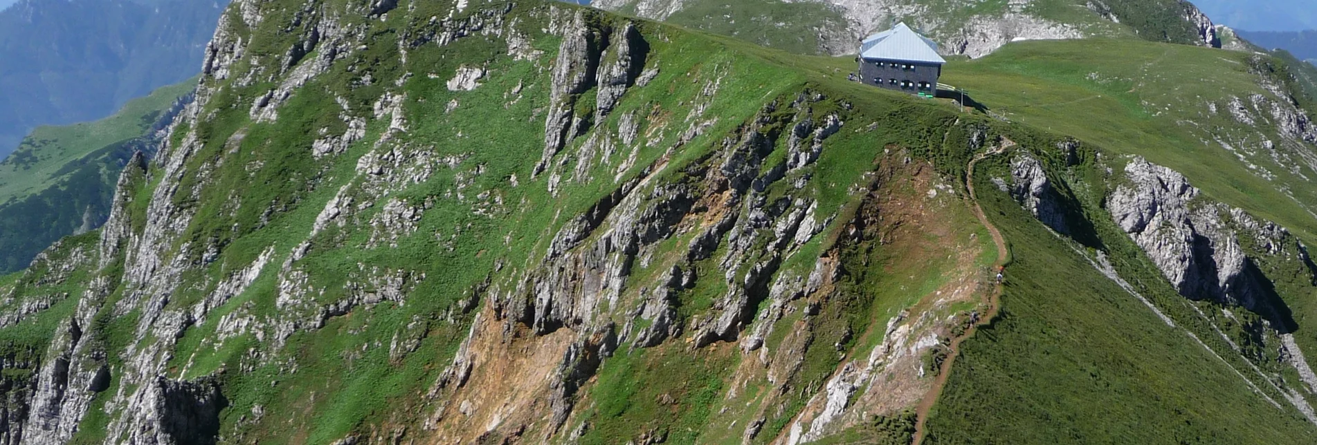

Eisenerzer Reichenstein
a) Via the "Steinerne Stiege"'
Follow the path until you reach the rocks, from here the path leads up a few meters on a rocky head, secured by ladders. Over several hairpin bends you reach the summit (only for sure-footed mountain hikers).
b) Normal path
From the junction, take the right path and thus avoid the rocky upswing. You reach the summit via several hairpin bends.
Characteristics
Best season
The tour in numbers
Map & downloads
More information
Timetables and travel information can be found directly at: Österreichischen Bundesbahnen (ÖBB), Steiermärkische Landesbahnen (STLB), www.busbahnbim.at
With the BusBahnBim app of the Verbundlinie, timetable information has never been easier: all bus, train and tram connections in Austria can be queried by entering locations and/or addresses, stops or important points. The app is available as a free app for smartphones (Android, iOS) - on Google Play and in the


