Stage 6: Way of St. James Western Styria
Characteristics
Best season
The tour in numbers
Map & downloads
More information
After a short rest, we continue along trail 553 in the direction of Poschalm. Past the hunting lodge with the black Lord, we turn left immediately after the barn and follow the trail to the Wildbachsattel-Glashütten junction. Follow the signposts for the Jakobsweg trail and trail 578b and walk steeply uphill through the forest towards the Handhöhkreuz Weinebene cross. At the Handhöhkreuz cross we follow the markings again until we arrive at the Pauluskapelle chapel created by Carl Hermanns at the Weinebene pass summit. After this strenuous climb, it is important to take a break and gather our strength for the ascent to the Koralpenspeik.
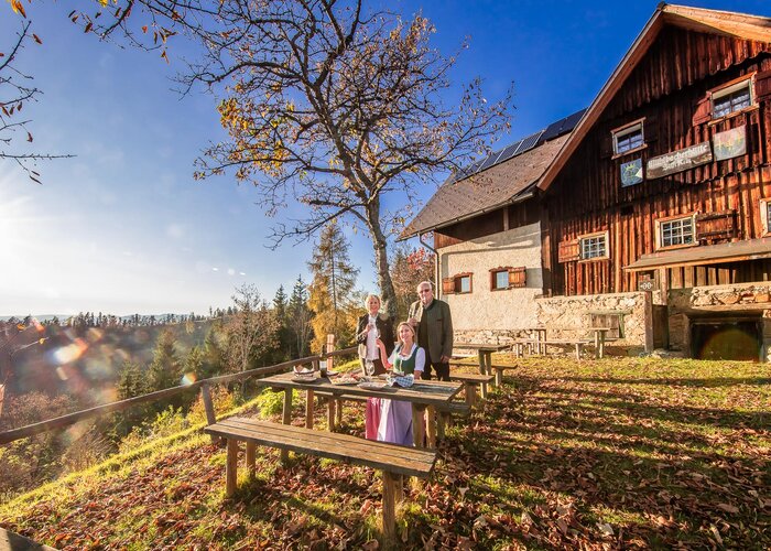
It is highly recommended to check the weather conditions beforehand so that we arrive safely and in one piece at our stage destination, the Koralpenschutzhaus.
From the Weinebene we follow the long-distance hiking trail 505, we turn left at the Pichler Alm inn in the direction of the Hühnerstütze and Grillitsch hut and enjoy the picturesque panorama of the Styrian/Carinthian mountains. Slightly ascending, we make our pilgrimage on the gravel road along the Brandhöhe and the Moschkogel down to the "Grillitschhütte" turn-off. We keep to the left and walk steeply uphill over the "Hühnerstütze" (1,979m). Hiking along the grade, we see the Great cirque below on the right and in front of us we first see the summit cross of the Koralpenspeik at 2,140m above sea level with the Goldhauben. (The "Goldhaube" is a radar station of the Austrian Armed Forces and serves to monitor the airspace). Passing to the side, along the Seespitz steadily uphill, we reach the highest point of the Jakobsweg at 2,140m above sea level, the summit cross of the Koralpenspeik. In clear weather we enjoy the magnificent view of the Styrian and Carinthian mountains. Afterwards, there is only a short descent on trail 505 to the situated Koralpen-Schutzhaus (1,966m). We have reached the destination of the 6th stage.
Pilgrim stamp sites:
Koralpe / KoralpenschutzhausIt is highly recommended that pilgrims carry an Austrian pilgrim's booklet with their pilgrim's passport. Discounts are offered at some establishments. This booklet can be obtained in advance from parish offices or pilgrim businesses.
Hauptplatz 40
A-8530 Deutschlandsberg
Tel +43 3462 7520
Verein zur Förderung der steirischen Jakobswege
Reinhold Waldhaus
Tel. +43 676 3911185
office@jakobsweg-steiermark.at
www.jakobsweg-steiermark.at
The themed hiking folder and the district-wide hiking map of Deutschlandsberg can be ordered free of charge online at www.schilcherland.at. ONLINE TOURS APPAll hiking tours can be found online at www.schilcherland.at/bewegung or via APP South & West Styria Tours in their app store.
Gallery