
Michelinghut
Characteristics
Best season
The tour in numbers
Map & downloads
More information
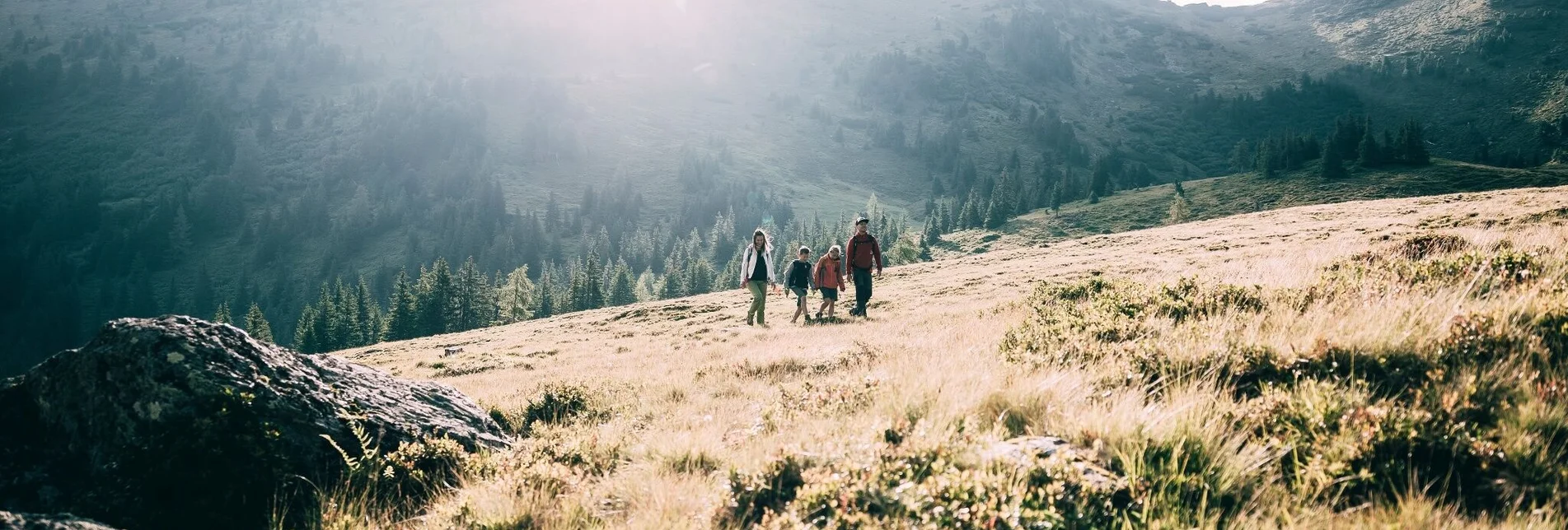
From the Michelirlingalm you have the possibility to continue hiking, to the right of the alp, first across a meadow, then over a steep path up to the Michelirlingsee (20 min). From there, turn right again in the direction of Hühnereck (30 min). The summit can already be seen from below.
To the left of the alpine pasture, after the plain, a path goes uphill in the direction of Schoberspitze (1 hr.).
Translated with www.DeepL.com/Translator (free version)
The next trainsation ,,Stainach-Irdning'' is away 22 kilometers.
Tourism blog: www.derbergdastal.at
Tourist Office Schladming-Dachstein
Ramsauerstrasse 756
8970 Schladming
T: +43 3687 23310
info@schladming-dachstein.at
Garbage on meadows and paths can not smell mountain and valley. Please take it with you. Agriculture and forestry are important partners for Berg und Tal. They allow you to walk and drive on many of their paths. Be aware that only good cooperation will guarantee your recreational enjoyment in the future.
- GRIMMING-DONNERSBACHTAL Leisure Map (1:31.000). Available free of charge at tourist offices and lodging establishments.
- SCHLADMING-DACHSTEIN Hiking Map (1:50.000)


