
On the stone bars, Ratten
Characteristics
Best season
The tour in numbers
Map & downloads
More information
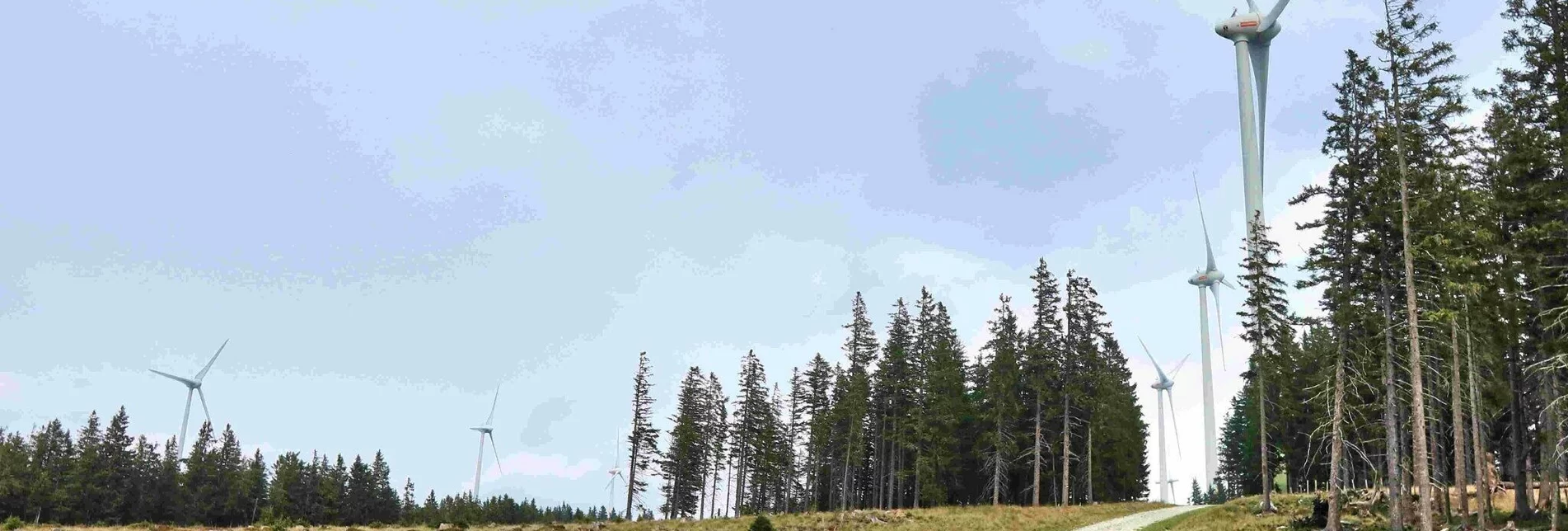
We walk 1.4 km on the asphalt road to the intersection just before the “Berbausiedlung” district. At this intersection we turn right and come to GH Willenshofer/valley station of the Hauereck lifts. The path continues behind the Willenshofer GH, along the gravel road we go uphill for about 2.6 kilometers to the unmanaged Hauereck refuge. From now on we are on the main hiking trail over the Fischbach Alps, turn right and hike comfortably uphill along the wide, wooded mountain ridge. (Trail no. 740/02). Soon we will see the first wind turbines. At an alpine area we reach the parking lot on the Ratteneer Alm, we continue directly to the Steinriegel. The descent leads past the parking lot again, then we turn right and towards an alpine hut. We follow the path and come to the barrier at the toll station, the Eichtinger snack station is unfortunately closed. We now walk a short distance along the asphalt road until we turn left onto hiking trail no. 742a turn. The gravel road goes continuously downhill, past a few farms, until we come back into the forest. At a large campsite we follow the yellow signposts further through the forest. During the grazing season the hiking trail is rerouted; the yellow markings lead us back to the original path. Downhill and along the asphalt road we come to the “Ratten” sign and turn right at the next intersection, always heading out of the valley. Shortly before the sports field we turn right, go over the stream and after a short climb we come to the church. Now a few more meters downhill and we are back in the center of Ratten, our starting point.
Eastern Styria Tourism Association
Joglland-Waldheimat office
8255 St. Jakob im Walde
Tel.: 03336/20255
Joglland-Waldheimat
Eastern Styria
current weather
Mobility Eastern Styria with shared taxi SAM
Regio Bus
Informieren Sie sich im Tourismusbüro über Karten, Wanderbroschüren und weitere Tourentipps.
Unsere Broschüren finden Sie auch online zum Durchblättern oder Sie können sie bequem per Email bestellen.
Tourismusverband Oststeiermark
Geschäftsstelle Joglland-Waldheimat
Kirchenviertel 24 8255 St. Jakob im Walde
Tel.: +43 3336 20255
Email: joglland-waldheimat@oststeiermark.com
Websites: www.joglland.at | www.oststeiermark.com
Diese Wanderung finden Sie auch im Rother Wanderführer „Oststeiermark“, ISBN 978-3-7633-4577-9, erhältlich im Buchhandel und bei den Geschäftsstellen.


