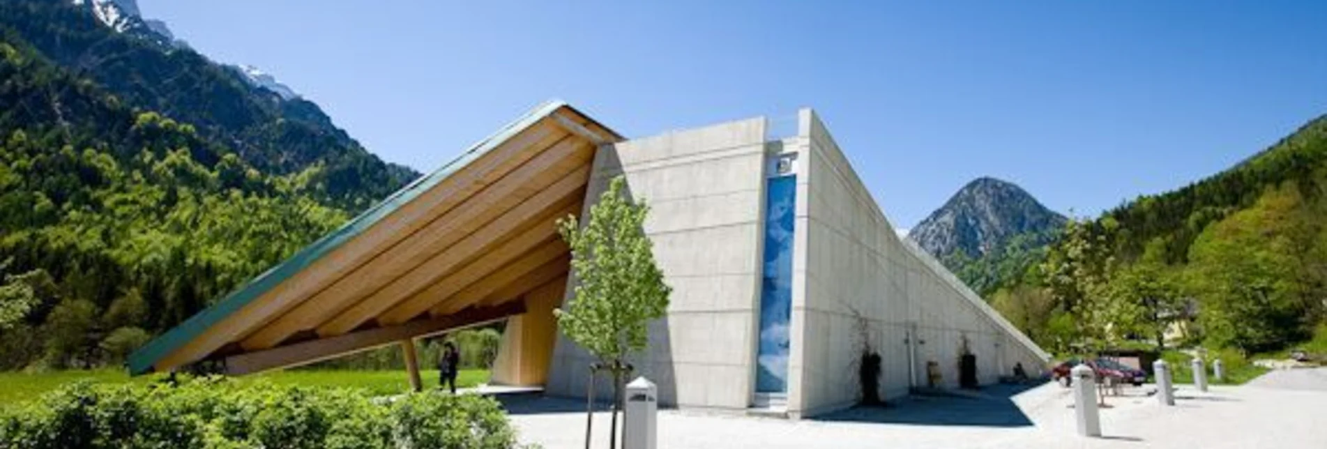

Nature trail Rauchboden
Characteristics
Best season
The tour in numbers
Map & downloads
More information
combine with the "WildenJohn" theme trail or with a visit to the willow dome!
with the Postbus, line 912 to the Weidendom stop, www.busbahnbim.at
by bus, line 917 to the Weidendom stop, attention: order 1 hour in advance by calling T +43(0)3613/4170, www.busbahnbim.at
www.nationalpark.co.at
www.johnsbach.at
Tourismusverband GesäuseHauptstraße 35,
8911 Admont, Österreich
Tel. +43 (0) 3613 21160 10
Email: info@gesaeuse.at
carto.at / Wander-, Rad- & Schitourenkarte „Nationalpark Gesäuse“Gesäuseberge – Haller Mauern – Eisenerzer Alpen West, Nr. 801
M 1: 35.000 http://www.carto.at/gesaeuse/
Kompass/ Wander-, Fahrrad- & Schitourenkarte „Nationalpark Gesäuse“, Nr. 206
M 1 : 25.000 http://www.kompass.de/touren-und-regionen/wanderkarte/dest/100148-alpenregion-nationalpark-gesaeuse/
Alpenvereinskarte „Gesäuse und Ennstaler Alpen“, Blatt 16, M 1 : 25.000
http://www.freytagberndt.com/shop/9783928777346-alpenvereinskarte-16-ennstaler-alpen-gesaeuse/
Rother Wanderführer Gesäuse


