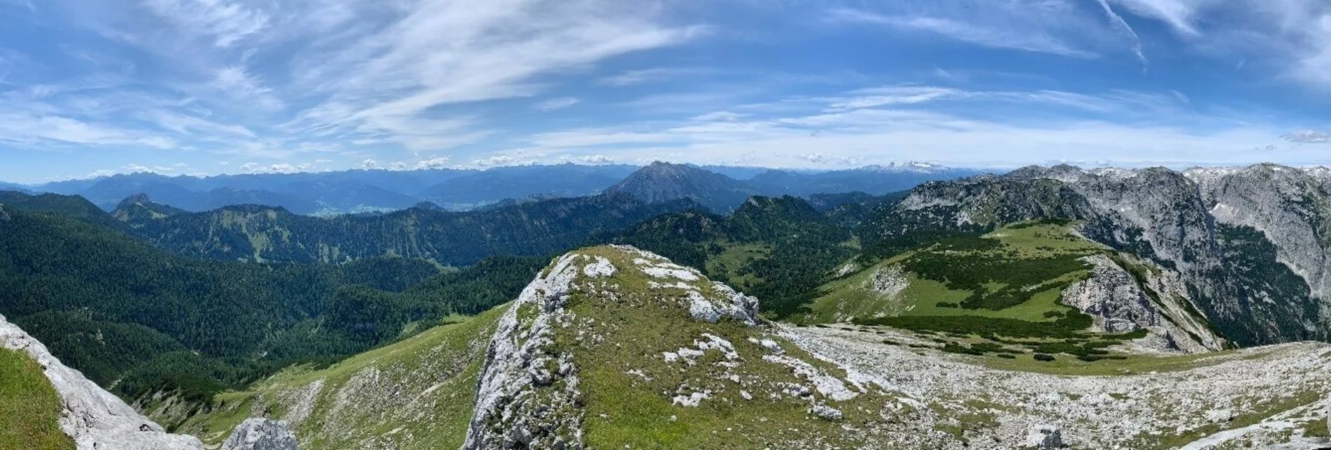

Hike to the Almkogel on the Tauplitzalm
Characteristics
Best season
The tour in numbers
Map & downloads
More information
Outside operation hours of the lift you can take the panorama road Tauplitzalm Alpenstraße in order to reach the parking on the Tauplitzalm, where you can start the tour then.
A detour to the Steirerseebankerl with a great view of the legendary Sturzhahn, which was first climbed by mountaineering icon Heinrich Harrer, is recommended.
Afterwards you come along the Steirersee to the Schwarzensee. Behind the Schwarzensee, the high-altitude hike now begins via the Leistalm and a low mountain peak to the plateau behind it. (surefootedness required!)
Now you walk over the Kampboden to the turnoff on the Almkogel. The path now becomes steeper - it takes about 1.5 hours to reach the 2,116 m high summit, which is reached via the southern slope. Behind the summit cross it goes down properly and the view is very impressive!
Back to the starting point is via the same route.
Those who wish can also continue the tour to the Gnanitzalm.
Information office Tauplitz
Tauplitz 70
8982 Bad Mitterndorf
+43 3688 24 46
Send e-mail
Website
Hiking maps are available in the information offices in Ausseerland or in the Ausseerland Artikel Shop.


